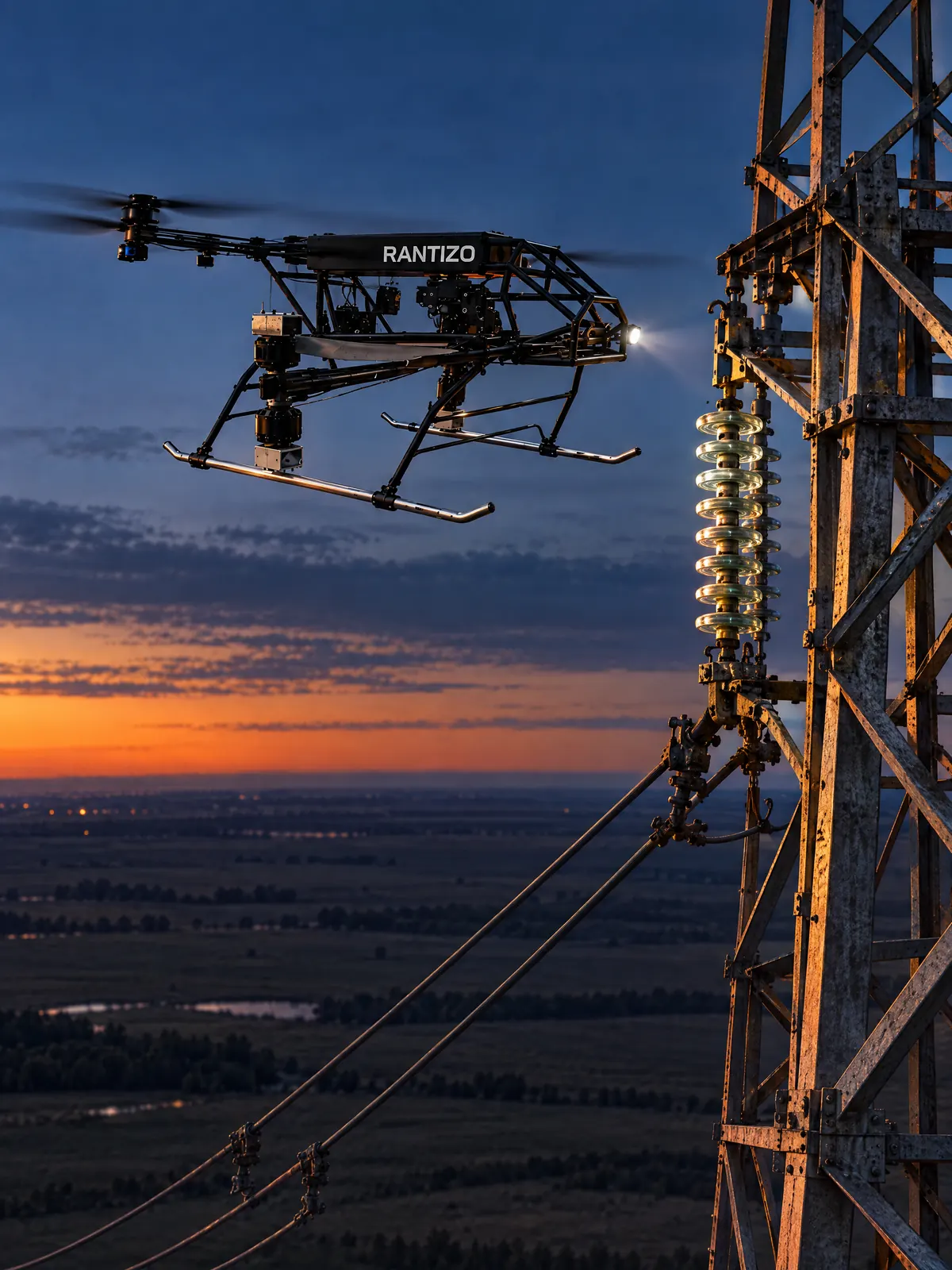
Infrastructure inspection
Hold steady. Look closer.
Inspection and monitoring of critical assets, and RTK boundary surveying, from U.S.-built drones.
Services
Inspect. Monitor. Survey.
Long-term service contracts for commercial real estate and government agencies, flown with Rantizo drones and trained pilots.
-
Inspection
Infrastructure inspection services for critical assets.
-
Monitoring
Infrastructure monitoring, a market Rantizo targets alongside wildfire prevention.
-
RTK boundary surveying
Real-Time Kinematic drone surveying for legal, agricultural and development needs.
-
Special projects
Tailored drone solutions for federal and state agencies, from large-scale surveys to specialized applications.
RTK positioning
Meters to centimeters.
Titan’s rated hover accuracy: within 1 m on GPS, cm-level with RTK positioning.
Explore TitanWhy Rantizo
Built here.
In December 2025, the FCC restricted new foreign-made drones.
- Aircraft
- Secure, U.S.-built UAVs, flown by trained pilots
- Supply chain
- 70%+ U.S. or allied parts
- Operations
- FAA-authorized, 15+ states
- Headquarters
- Houston, Texas, with manufacturing and testing facilities
Contact
Show us the asset.
Tell us what you inspect today. Your message goes straight to our team, and we follow up during business hours.